From the center of Klösterle am Arlberg, the trail leads along the Alfenz river a short distance out of the valley - to the "Angerbrücke" (Arlberger Hof). There you cross the Alfenz and from here follow the signs towards Burtschakopf. Now the path goes steeply uphill - through forests and over mountain meadows overgrown with bushes - towards the Burtschasattel. Above the timberline, the trail joins the path that leads from Sonnenkopf towards Burtschasattel. Between blueberry bushes and next to imposing avalanche barriers, the trail now climbs the last stretch towards the Burtschasattel. From the Burtschasattel the trail now leads over the last grassy slope up to the summit at 2,244 m. The last meters to the summit cross are secured with rope and only recommended for experienced mountain hikers. At the summit you can enjoy a fabulous view of the surrounding mountains of the Lechquellengebirge, the Arlberg and Rätikon. Back to the valley you first take the same path. At the Burtschasattel the path now branches off in the direction of the Thüringer Schafalpe and Nenzigasttal. Passing the Thüringer Schafalpe, the trail leads you first quite level and then rather steeply downhill into the Nenzigasttal valley. At the bottom of the Nenzigasttal valley, follow the signs towards Klösterle am Arlberg.
 © Melanie Fleisch
 © Melanie Fleisch
 © Melanie Fleisch
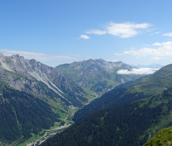 © Melanie Fleisch
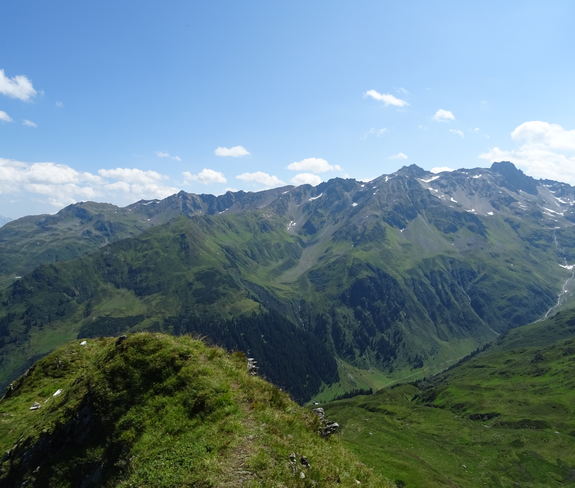 © Melanie Fleisch